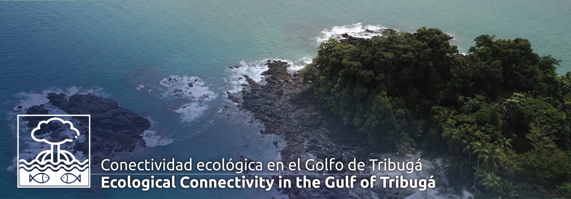
The Gulf of Tribugá
This region is known as one of the rainiest places on Earth. Its coastal areas are largely shaped by mangrove forests, rocky shores, and coral-rock reefs—ecosystems on which local communities rely heavily.
In recent years, despite increasing attention due to the proposed construction of a deep-water port, little scientific evidence had been collected on the mangroves, sandy beaches, cliffs, intertidal rocky zones, and shallow coastal bottoms of this vital area of Chocó.
To generate biological and ecological knowledge that could serve as a reference for environmental authorities and as a tool for local communities in pursuing sustainable use of their territory, the National Geographic Society (NatGeo) and CEMarin brought together researchers from Universidad del Valle, Universidad Nacional de Colombia, and Universidad Tecnológica del Chocó. The expedition aimed to characterize fish and macrofauna communities in the Gulf’s mangrove ecosystems and determine their ecological connectivity with adjacent coastal ecosystems by comparing species composition in small-scale fisheries.
To this end, the institutions signed Agreement NGS PS 2022-03 to carry out the project:
“Mangrove Fish Communities of the Gulf of Tribugá: Assessing Their Importance for Small-Scale Fisheries.”